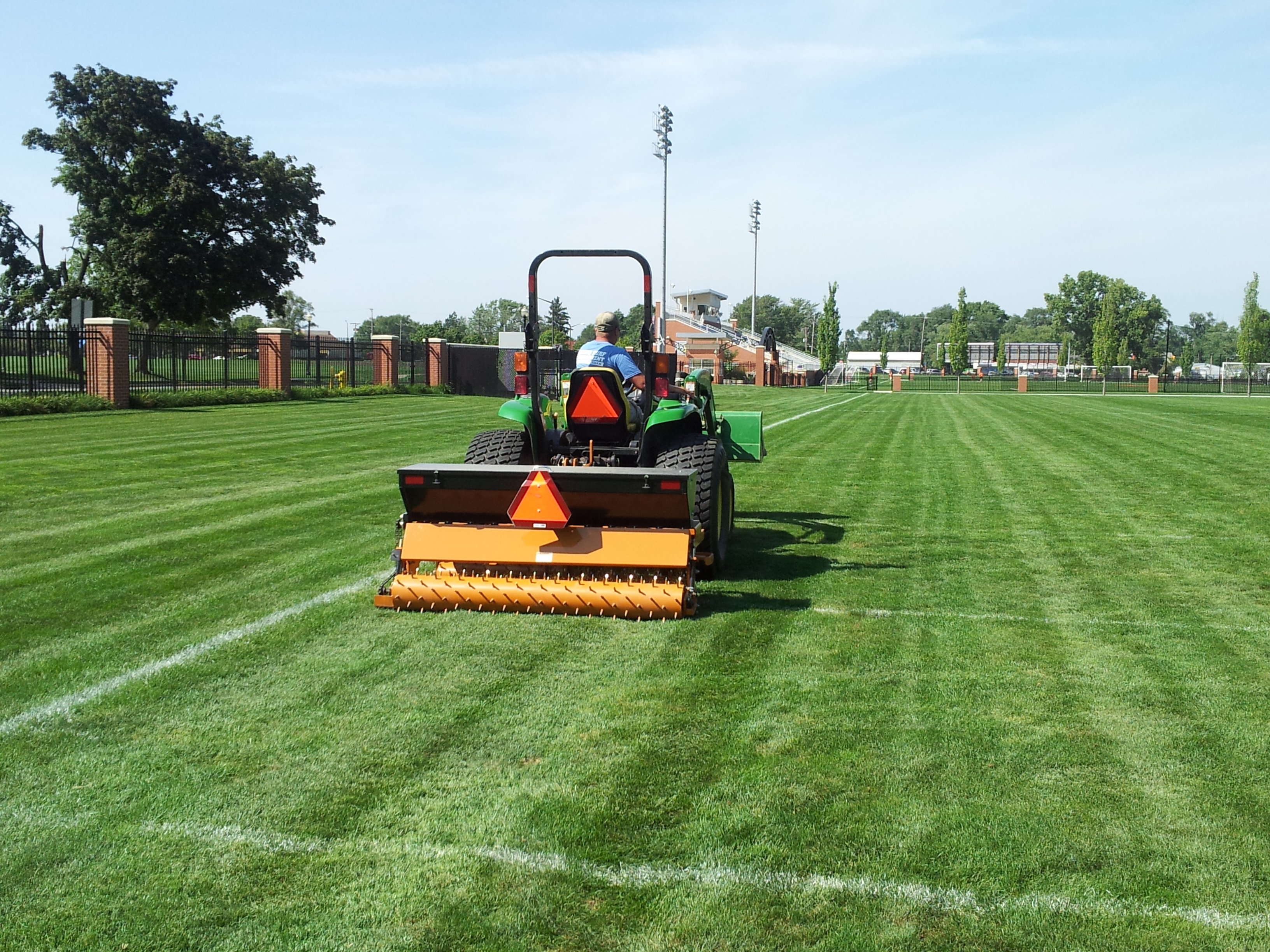
Artificial turf installation in NW Houston is not a one-size project. The territory Artificial Turf of Tomball serves runs from the working ranch corridors west of Tomball along FM 2920 through Hockley and into the Waller County edge, up through Magnolia's Decker Prairie and Westwood sections, across the Cypress ranch edge at Stable Gate and Sterling Knoll, and down through the established suburban corridors of Klein, Willowbrook, and Spring. Each zone has a distinct soil profile, a different drainage reality, and a different set of property types asking for turf. A paddock surround installation on a Hockley horse property and a pool-deck edge install in a Woodlands HOA community both fall under artificial turf installation—but the planning, base specification, and edge detailing are completely different scopes. Our approach begins from that reality. Before any material is ordered or any equipment is staged, we assess the site: sub-grade soil type, existing drainage direction, what the turf zone borders, what the traffic will be, and whether the property has infrastructure constraints like septic field lines or well setbacks that affect excavation. On ranch and acreage properties, we look at the full land-use picture—where horses move, where equipment passes, where runoff flows after a three-inch Gulf rain. On suburban residential properties, we look at how existing patio and pool drainage is routed and where the natural outlet is. That site-specific foundation is what makes the difference between turf that performs for fifteen years and turf that starts creating problems in the second wet season. The Tomball service area is heavy-clay territory for most of its extent, with some sandy-loam variation in the piney woods transition near Conroe and northwest toward the Waller County boundary. Clay soils hold moisture significantly longer after rain events than the regional average—base preparation that does not account for that characteristic produces a turf surface that drains poorly, heaves at the edges, or develops soft spots in wet seasons. We plan base depth, aggregate type, and drainage routing specifically for the soil conditions found at each site, not the regional average.